Guide · Hiking
Hiking routes in Mallorca
14 routes across the Serra de Tramuntana, Llevant and the coast, with distance, time and difficulty for each
Figures are approximate and depend on your starting point and pace. Before you go, check the forecast, trail conditions and any access restrictions.
1. Barranc de Biniaraix
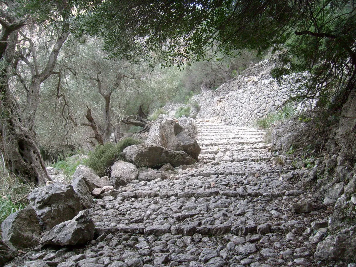
Sóller
5 km · 2 h 20 min
Difficulty: Easy
One of the most iconic dry-stone paths in the Tramuntana, between terraces and mountain scenery.
Good to know: The cobbled path can be slippery after rain.
2. Camí des Correu
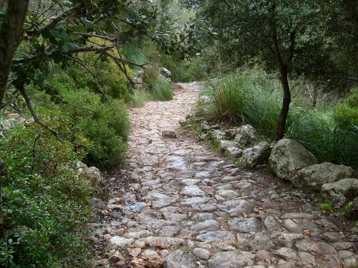
Esporles - Banyalbufar
One-way · 7,7 km · 2 h 30 min
Difficulty: Easy
A historic path through woodland and terraces with sea views, perfect for an unhurried walk.
Good to know: It's one-way, so plan how to get back.
3. Deià - Muleta
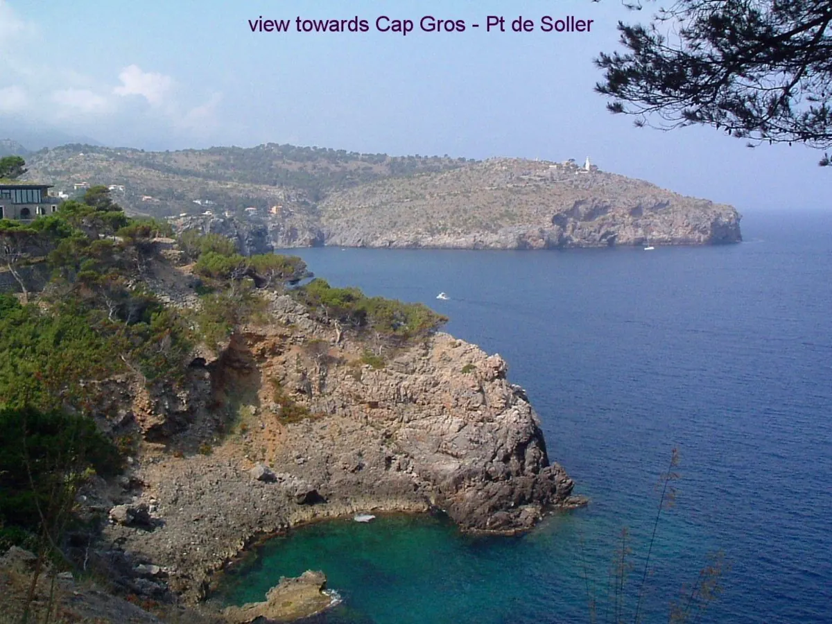
Deià - Port de Sóller
9,9 km · 3 h 5 min
Difficulty: Easy
Sea, olive groves and dry-stone walls on one of the most beautiful stretches of the Tramuntana.
Good to know: Bring water and allow time to stop and enjoy the views.
4. Puig de Maria
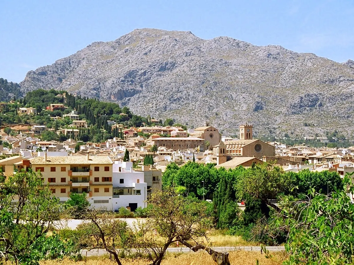
Pollença
4,2 km · 1 h 40 min
Difficulty: Easy
A short climb with rewarding views and a charming finish at the sanctuary.
Good to know: It's short but steep, so wear comfortable shoes.
5. Castell d'Alaró
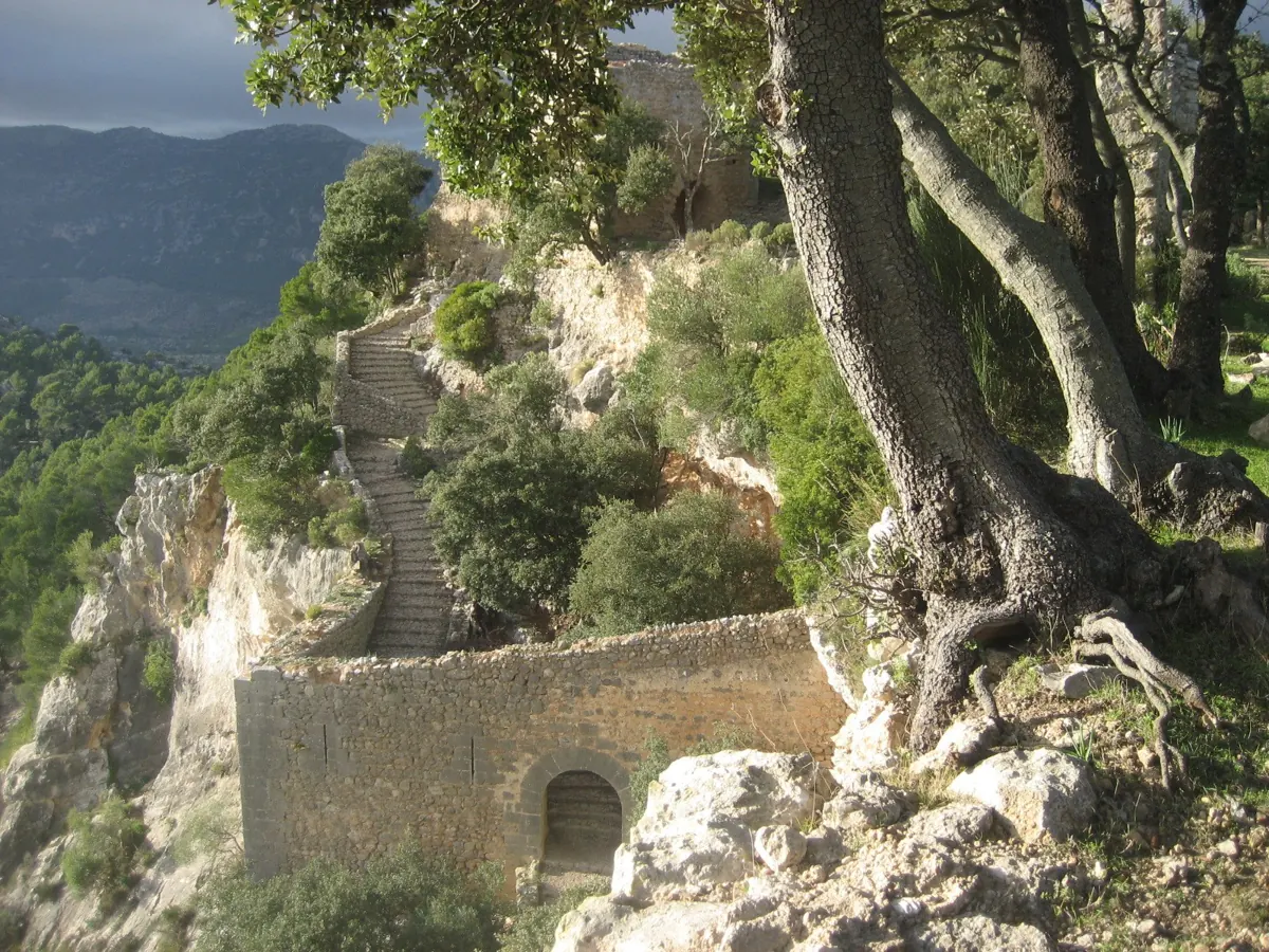
Alaró
14,1 km · 4 h 50 min
Difficulty: Hard
One of Mallorca's classic climbs, with history, panoramic views and a spectacular arrival at the castle.
Good to know: It's a demanding route, so wear good footwear and allow plenty of time.
6. Sa Costera
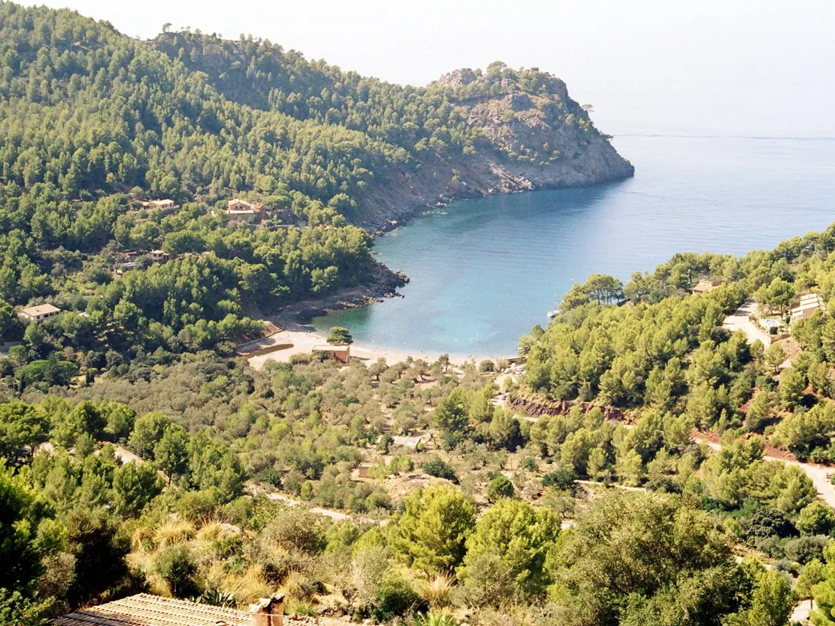
Fornalutx - Cala Tuent
14,8 km · 5 h 15 min
Difficulty: Moderate
Sea, cliffs and one of the most spectacular coastal routes in Mallorca.
Good to know: It's long with plenty of ascent, so take your time and set off early.
7. Camí des Presos
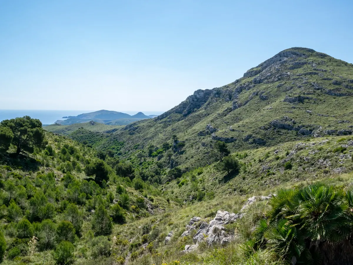
Artà - Parc Natural de Llevant
5,5 km · 2 h
Difficulty: Moderate
A different kind of route, with open landscape and history, in one of the most special parts of Llevant.
Good to know: Bring water and sun protection: some stretches have little shade.
8. Salt des Freu
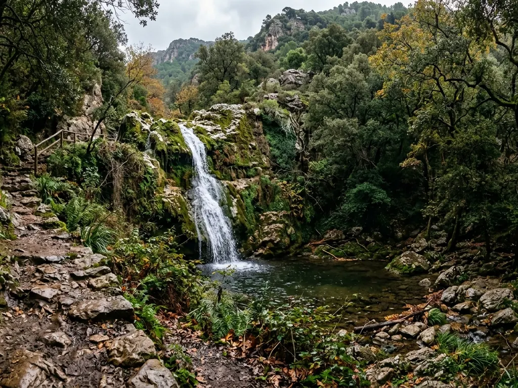
Orient (Bunyola)
Out and back · 3,7 km · 1 h 30 min
Difficulty: Easy
Rest stop: No mountain hut
For its seasonal waterfall, the holm oak forest and the fairy-tale feel it takes on after rain.
Good to know: Best after several days of rain. The ground can be slippery and in dry spells there may be little water.
9. Cúber
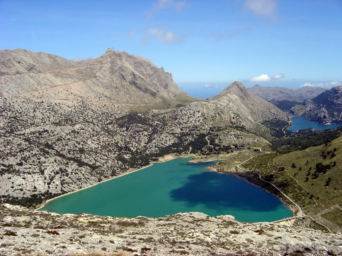
Cúber (Escorca)
Loop · 4,7 km · 1 h 30 min
Difficulty: Easy
Rest stop: Benches and a recreation area
For the walk beside the reservoir, the Tramuntana views and a calm feel that makes it ideal for an easy outing.
Good to know: It's a busy route with little shade in places. The paved path only goes as far as the dam.
10. Camí de s'Arxiduc
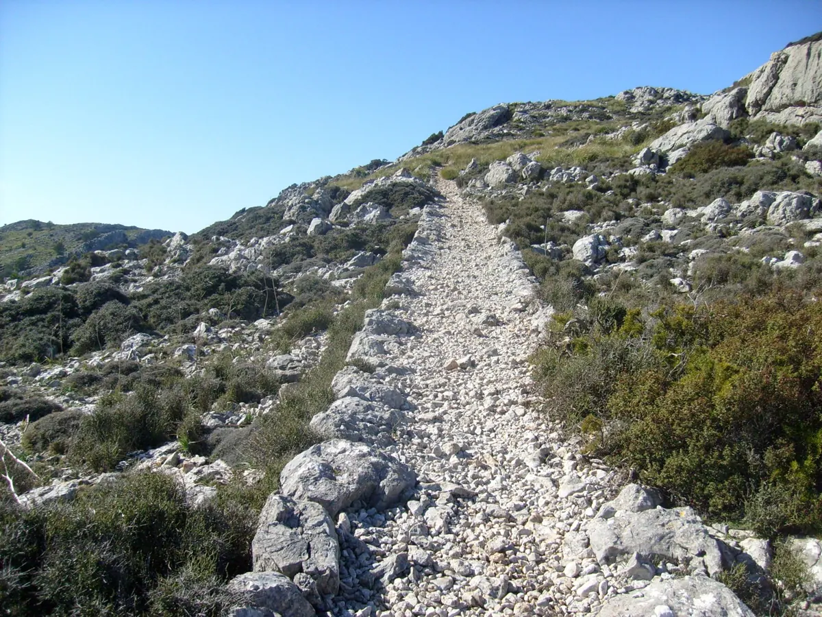
Valldemossa
Loop · 15 km · 5 h 30 min
Difficulty: Hard
Rest stop: No staffed mountain hut
For its open sea views, the lookouts and one of the most legendary dry-stone paths in the Serra.
Good to know: A long, exposed route with stony ground and ascent. Best done in cool weather with plenty of water.
11. Talaia d'Alcúdia
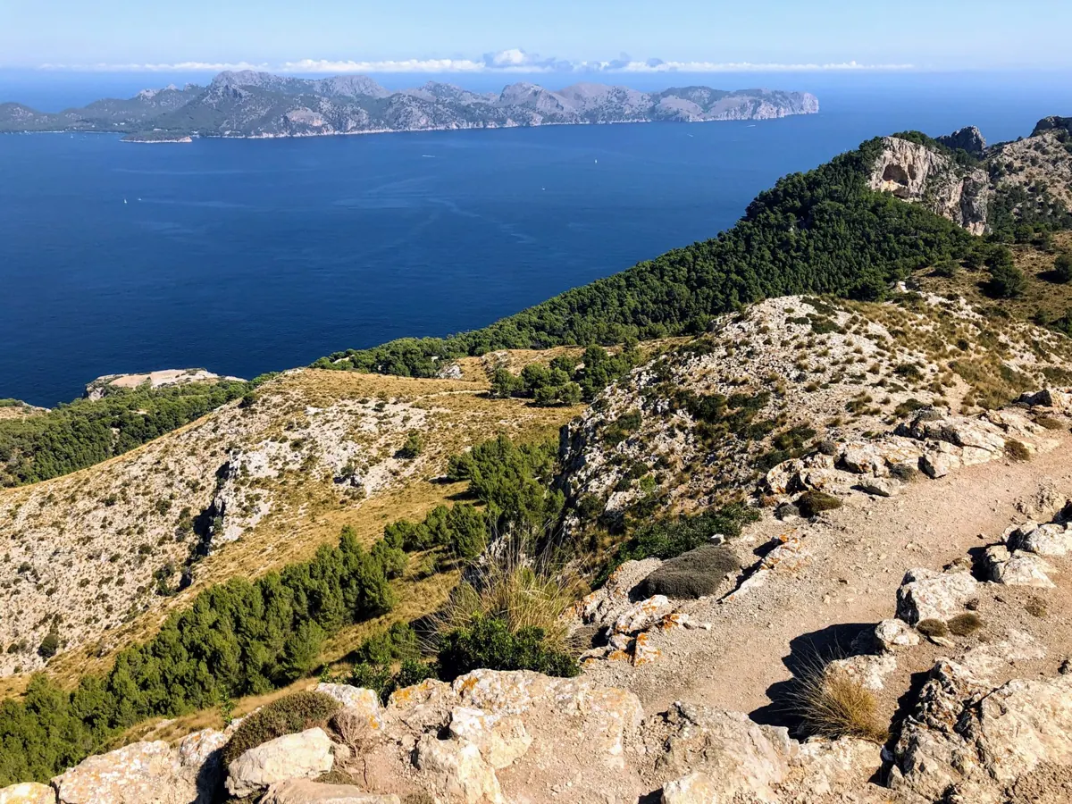
La Victòria (Alcúdia)
Loop · 10,2 km · 4 h
Difficulty: Moderate
Rest stop: Small shelter and picnic tables
For the views over the bays of Alcúdia and Pollença and the bonus of reaching a historic watchtower.
Good to know: A steady climb with some stony sections. Not ideal for small children or pushchairs.
12. La Trapa
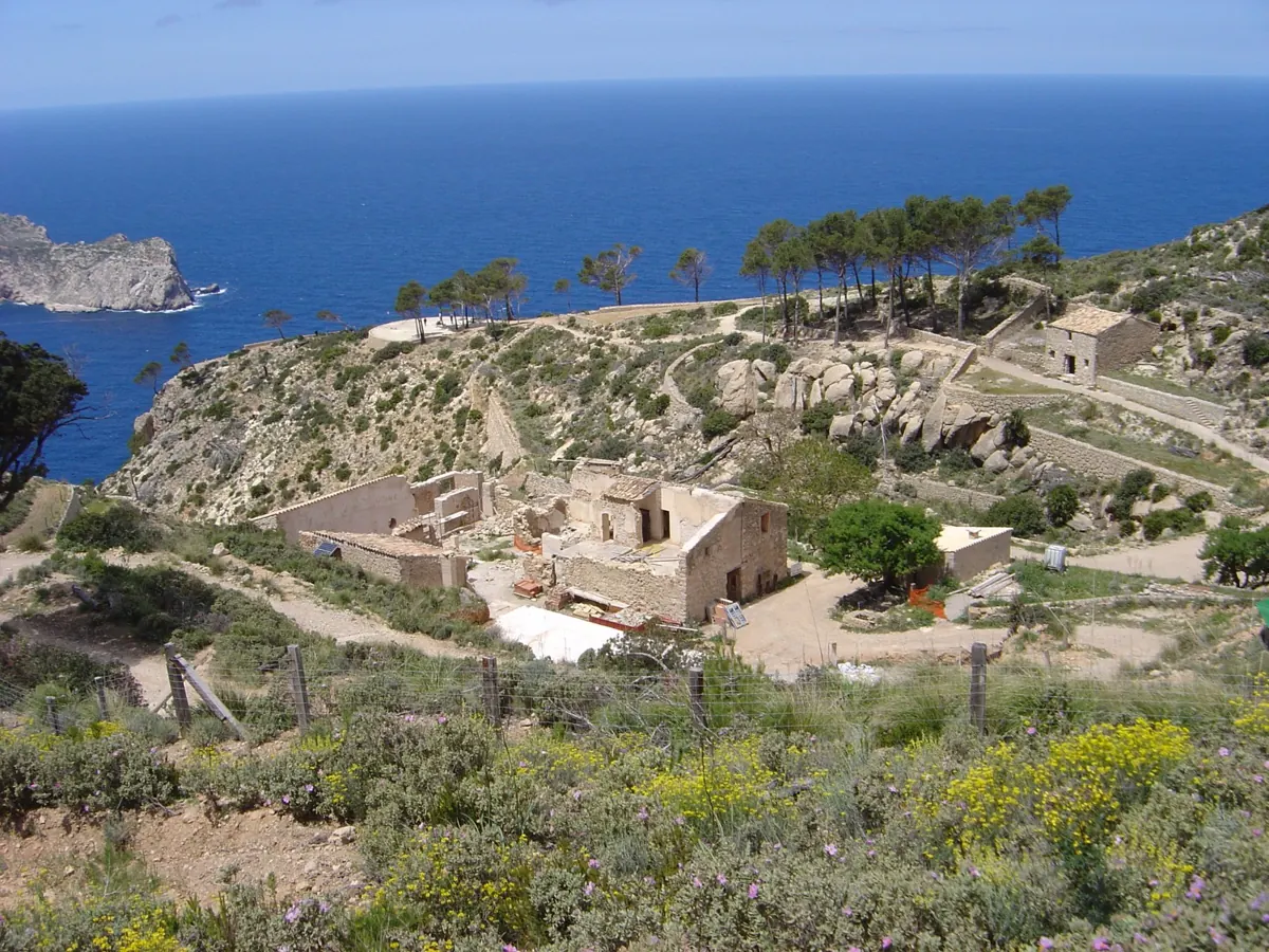
Sant Elm (Andratx)
Out and back · 8 km · 3 h 30 min
Difficulty: Moderate
Rest stop: No drinking water
For the walk to the ruins, the terraces and one of the finest views of Sa Dragonera.
Good to know: Several stretches have little shade, so bring water. Dogs must be kept on a lead.
13. Tossals Verds
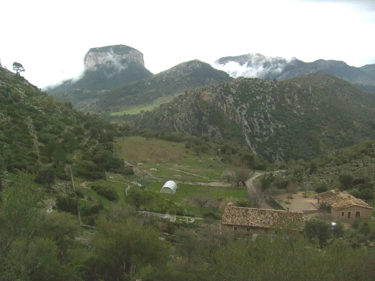
Almadrà (Lloseta)
Out and back · 11 km · 4 h 30 min
Difficulty: Moderate to hard
Rest stop: Mountain hut with toilets and food
For the mountain feel, the path between rock walls and the reward of reaching one of Mallorca's best-loved mountain huts.
Good to know: A longer route with ascent and stony sections. Hut service may depend on the season and booking.
14. Puig de Galatzó
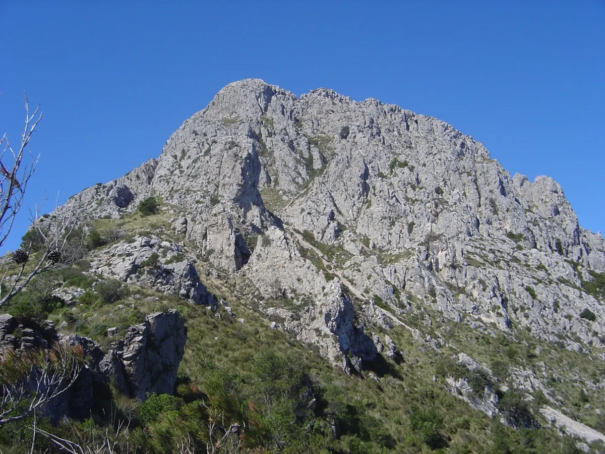
Son Fortuny (Estellencs)
Out and back · 10,2 km · 4 h 40 min
Difficulty: Moderate to hard
Rest stop: Recreation area at the Boal
For the reward of the summit and the open views over the Serra and much of the island.
Good to know: It's tougher than it looks: the climb is steady, so wear good footwear and bring water.
Photos from Wikimedia Commons: Barranc de Biniaraix (Sarang, public domain); Camí des Correu (Sarang, public domain); Deià - Muleta (deepeye, CC BY-SA 3.0); Puig de Maria (Silar, CC BY-SA 3.0); Castell d'Alaró (Soylu, CC BY-SA 3.0 es); Sa Costera (Olaf Tausch, public domain); Camí des Presos (Tsungam, CC BY-SA 4.0); Cúber (Antoni Sureda, CC BY-SA 3.0); Camí de s'Arxiduc (Sarang, public domain); Talaia d'Alcúdia (Wasquewhat, CC BY-SA 4.0); La Trapa (Antoni Sureda, CC BY-SA 3.0); Tossals Verds (Sarang, public domain); Puig de Galatzó (Antoni Sureda, CC BY-SA 3.0).
Illustrative AI-generated image: Salt des Freu.